Mathrafal Forest Resource Plan
Overview
Natural Resources Wales is responsible for the sustainable management of the publicly owned woodlands and forests of Wales. They are managed for the benefit and well-being of the people who visit them and depend on them for their livelihood. This responsibility includes improving their biodiversity and long-term resilience to climate change so that future generations will also be able to enjoy the benefits they provide. Every ten years Natural Resources Wales reviews the long-term management plans for each forest area. These are compiled in a new Forest Resource Plan.
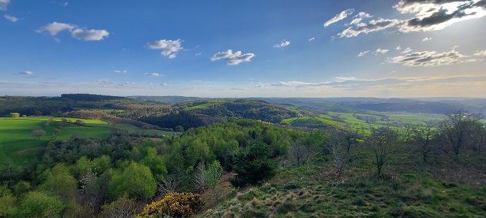
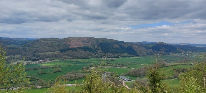
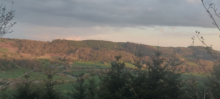
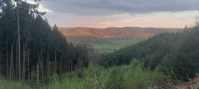
Mathrafal Forest Resource Plan (FRP) sets out the future management of 22 forest blocks that together form the Mathrafal Forest Resource Plan area. The Mathrafal forest blocks are scattered across an area of 175 km2, between and around the town and villages of Welshpool, Llanfair Caereinion and Llanfyllin. The blocks are located to the west of Welshpool, with the largest cluster situated around the village of Meifod (Figure 1). Several of the larger blocks area along the Meifod valley and can be accessed from the A495 road. The total plan area is 636.4 ha and is predominantly broadleaf in nature. The forest blocks included in this plan are named on the Location Map.
The surrounding habitat of the Mathrafal FRP blocks consists of enclosed grazed farmland and arable crops, typically in the valley bottoms and hilltops, and blocks of commercial conifer forest and broadleaved woodlands, typically on the steeper valley sides. All the Mathrafal Forest blocks, except for Big Forest and Figyn Wood, have been dedicated under the CRoW Act for open access on foot, and also allow access for horse and cycles on a permissive basis. There is an extensive network of Public Rights of Way that links many of the Mathrafal blocks to the wider landscape. The Glyndwr’s Way long-distance National Trail runs through the Broniarth and Figyn Wood blocks, and borders several of the other blocks.
Mathrafal Forest falls into twelve different river catchments. Five of these catchments are classified as having a ‘Good’ overall WFD status, and a further five are classified as having a ‘Moderate’ overall status; the ‘Guilsfield Brook - source to confluence with the Nant Rhyd-y-Moch’ and the ‘Afon Banwy’ catchments have been given a ‘Poor’ overall status.
Below is a summary of the main objectives for the Mathrafal Forest Resource Plan, followed by indicative maps for the Long Term Vision, Forest Management and Restocking strategies proposed for the forest:
Main Objectives, Opportunities & Priorities:
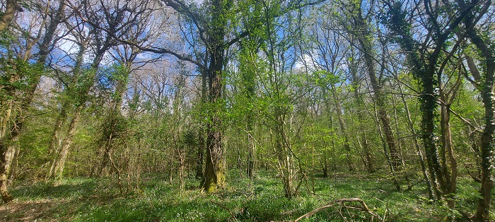
- Continue to identify and restore ancient woodland site features and areas of conservation interest, resulting in an increased broadleaf element across the forest.
- Increase structural diversity through the continued implementation of Low Intervention Silvicultural Systems.
- Increased successional / riparian woodland areas for the improvement of habitat resilience and landscape scale habitat linkages.
- Continue to maintain a sustainable supply of timber production through the design of felling and restock species choice.
- Using a combination of natural regeneration and carefully selected restocking to diversify the forest species composition to increase resilience to pests and diseases whilst building a robust forest for future generations.
- To further blend the visual impacts of the woodlands into the wider landscape, helping to enhance the National Landscape Characters of the Areas in which they sit.
- Identify and protect important heritage and archaeological features, including the historic natural environment.
- Maintain and improve visitors experience by providing a safe and enjoyable diverse environment.
The following document helps to explain some of the categories shown on the maps below:
Map 1: Long Term Vision (North)
Map 1: Long Term Vision (East)
Map 1: Long Term Vision (South)
Map 1: Long Term Vision (West)
Map 2: Forest Management & Felling Strategy (North)
Map 2: Forest Management & Felling Strategy (East)
Map 2: Forest Management & Felling Strategy (South)
Map 2: Forest Management & Felling Strategy (West)
Map 3: Forest Types & Restocking (North)
Map 3: Forest Types & Restocking (East)
Map 3: Forest Types & Restocking (South)
Map 3: Forest Types & Restocking (West)
Summary of the main changes that will occur in the forest:
- Restoration of up to 190 ha of ancient woodland by the gradual removal of conifer and the creation of a native broadleaf habitat.
- Further ecological improvement and/or maintenance of an additional 251 ha that is already classified Ancient Semi Natural Woodland.
- Increase the amount of broadleaves to 70% of the plan area, including around important bat roosting sites.
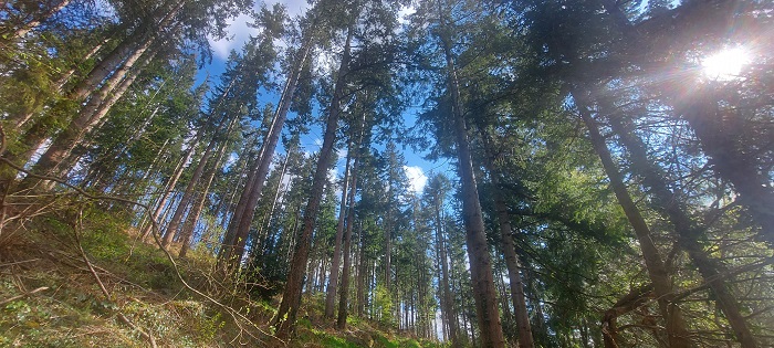
- Continued elements of productive conifers in areas deemed most appropriate.
- Increase in the use of Low impact Silvicultural systems to 65% of the forest area.
- Increased use of Minimum Intervention where suitable (increased to 26% of the forest area).
- An increase in diversity of both broadleaf and conifer species to increase the woodland’s resilience to pests and diseases.
Why your views matter
We would like to know your opinion and views on the new plans for Mathrafal Forest so it can help us improve its long-term management.
Areas
- Berriew
- Guilsfield
- Llanfair Caereinion
- Llanfihangel
- Llanfyllin
- Meifod
- Welshpool Castle
- Welshpool Gungrog
Audiences
- Forest Management
Interests
- Forest Management
Share
Share on Twitter Share on Facebook