Lampeter & Cilcennin Forest Resource Plan
Overview
Natural Resources Wales is responsible for the sustainable management of the publicly owned woodlands and forests of Wales. They are managed for the benefit and well-being of the people who visit them and depend on them for their livelihood. This responsibility includes improving their biodiversity and long-term resilience to climate change so that future generations will also be able to enjoy the benefits they provide. Every ten years Natural Resources Wales reviews the long-term management plans for each forest area. These are compiled in a new Forest Resource Plan.
The Lampeter and Cilcennin Forest Resource Plan amounts to 663 hectares, incorporating several small woodlands on the immediate outskirts of Lampeter, to the North and West of the town, along with various more extensive blocks further to the north, situated across the area surrounding Cross Inn, Bethania and Cilcennin.
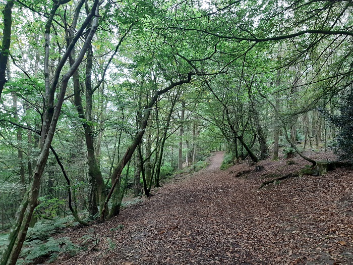
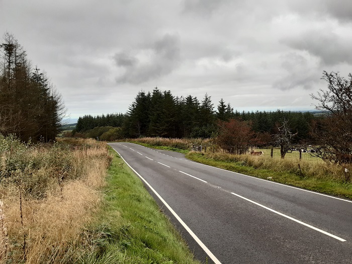
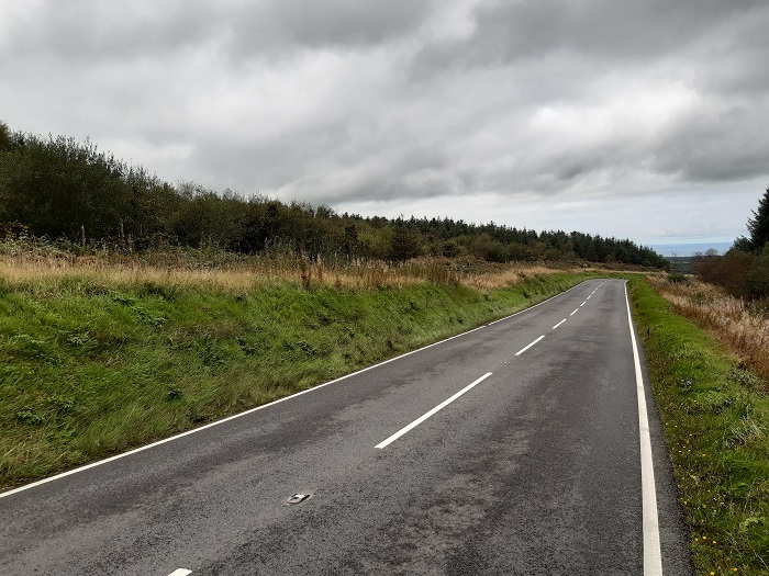
The Lampeter woodlands lay within a diverse lowland landscape, sited just beyond the town’s urban fringe and forming an integral part of the rich agricultural and mixed woodland landscape which surrounds the town.
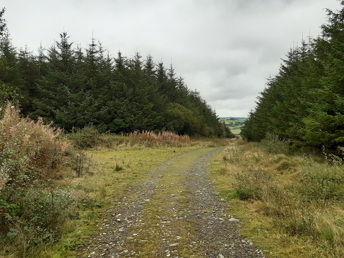
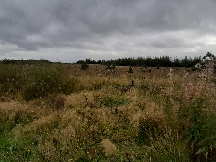
Though still at relatively low elevations, the various woodland blocks surrounding Cilcennin and Cross Inn to the north, lay within a fairly flat and extremely exposed landscape, surrounded by some notable areas of heath and mire. These features give the woodlands a much more upland character than their altitude would suggest, and this has historically had some significant influence on the management options utilised for these woodlands.
The whole of the forest resource plan area lies within Ceredigion Local Planning Authority.
Below is a link to the summary of objectives for the plan followed by the indicative maps for the forest resource plan:
Lampeter & Cilcennin Summary of Objectives
The following document helps to explain some of the categories shown on the maps below:
Map 1: Long Term Vision (Lampeter)
Map 1: Long Term Vision (Cilcennin - North)
Map 1: Long Term Vision (Cilcennin - South)
Map 2: Forest Management & Felling Strategy (Lampeter)
Map 2: Forest Management & Felling Strategy (Cilcennin - North)
Map 2: Forest Management & Felling Strategy (Cilcennin - South)
Map 3: Forest Types & Restocking (Lampeter)
Map 3: Forest Types & Restocking (Cilcennin - North)
Map 3: Forest Types & Restocking (Cilcennin - South)
Summary of the main changes that will occur in the forest:
- Throughout the coming plan period, the core area of the Cilcennin and Cross Inn blocks will remain an important productive woodland, providing a sustainable supply of timber to support employment and the Welsh economy.
- Species and structural diversity will be significantly enhanced, providing greater resilience to pests, disease and climatic changes.
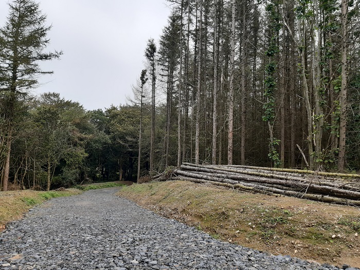
- The spread of Phytophthora ramorum will require accelerated removal of all larch crops from the area over the next 10 years, with a significant proportion under notice for removal within the next 3 years. This will be a key driver behind the proposed felling program during the coming plan period.
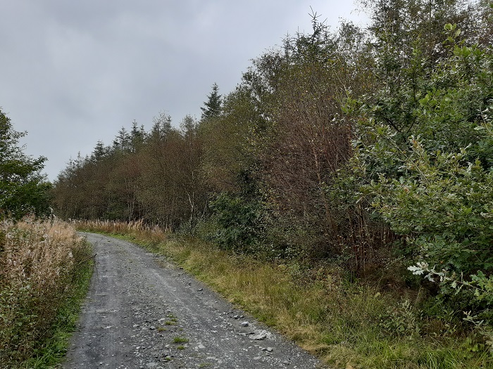
- The areas of ‘Plantation on Ancient Woodland Sites’ (PAWS) which dominate the Lampeter Woods, and are present in Allt Goch, on the southern edge of Cilcennin, will undergo conversion back to native broadleaf woodland. Though a steady, progressive transition (through repeated thinning operations) is the preferred method for this, clearance of Phytophthora infected larch will require a more rapid ‘fell and restock’ based transition to broadleaf woodland in some of these compartments.
- The significant expansion of successional broadleaf woodland, around riparian features and adjacent to the various heathland and marshy grassland areas bordering the woodlands, will provide enhanced buffering for the designated features of these sites, and further improve habitat connectivity.
- Several areas of currently afforested deep peat have been identified as restorable and will undergo a process of clearance and re-wetting (through drain blocking etc.), securing the condition of these peatland features into the future and contributing to the area of managed open ground on site.
- Though site constraints around the Cilcennin blocks (exposure, ground conditions and management history of existing crops etc.), will require continued use of clearfell management on much of the area during the current rotation, an incremental ‘Low Impact Silvicultural Systems’ (LISS) approach will be favoured wherever site and crop conditions allow. Moving forward, as future young crops are brought into a cycle of regular thinning, the area on which this can viably be applied will rise over time. Following the current round of larch clearances, all of the Lampeter woods will in future be managed under LISS.
- Maintaining an appropriate landscape setting around Scheduled Ancient Monuments (SAMs), the identification and preservation of other heritage features and the provision of healthy access opportunities for the community will remain as important objectives.
Why your views matter
We would like to know your opinion and views on the new plans for Lampeter and Cilcennin so it can help us improve its long-term management.
Areas
- Bontnewydd
- Lampeter
Audiences
- Forest Management
Interests
- Forest Management
Share
Share on Twitter Share on Facebook