Coed Sarnau Forest Resource Plan
Overview
Natural Resources Wales is responsible for the sustainable management of the publicly owned woodlands and forests of Wales. They are managed for the benefit and well-being of the people who visit them and depend on them for their livelihood. This responsibility includes improving their biodiversity and long-term resilience to climate change so that future generations will also be able to enjoy the benefits they provide. Every ten years Natural Resources Wales reviews the long-term management plans for each forest area. These are compiled in a new Forest Resource Plan.
Coed Sarnau Forest Resource Plan (FRP) includes the main forest blocks of Abbey Cwmhir, Bwlch y Sarnau, Red lion, the Barnes and Treflyn. These woodlands collectively have a total area of 2,334 ha and have a mixture of conifer and broadleaved tree species.
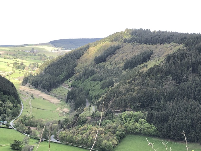
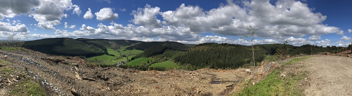
The main forest blocks of Abbey Cwmhir, Bwlch y Sarnau and Red lion are situated within the County Council boundary of Powys and are found within the valleys of Abbey Cwmhir and Bwlch y Sarnau. The northernmost forest, called the Barnes is located on the hill of Garn Fach 4km west of the A483 nr the village of Crochran. The southernmost forest block of this FRP is referred to as Treflyn and is located hillside of Rhiw Gwraidd, 3.5km east of Llanwrthwl on the A470.
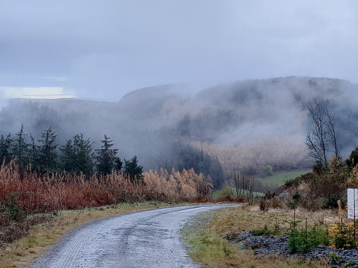
The surrounding habitat of the Coed Sarnau FRP blocks consists of enclosed grazed farmland, commercial conifer forest blocks, which dominate the higher elevations and mixed conifer/broadleaved woodlands on the lower slopes and riversides. Several wind energy farms are also a prominent landscape feature of this area, particularly Dethenydd and Waun Lluestowain windfarms.
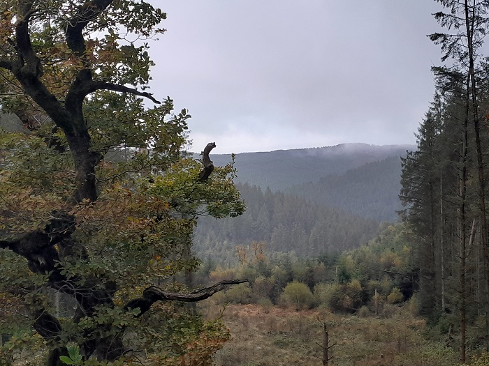
The Abbey Cwmhir forest blocks are a mixture of conifer and broadleaved tree species and are managed with a balance of commercial and conservation objectives. There are several good examples of veteran oaks which have survived on the ancient woodland areas of these woodlands. Although there is also a mixture of native broadleaves present within the Bwlch y Sarnau forests, these areas are more dominated by conifer tree species.
This FRP sits within the catchment of the River Wye (SAC). This river is important for the local populations of river and brook lamprey, Atlantic salmon, bullhead fish and otters.
Below is a link to a downloadable 'Summary of Objectives' for the plan followed by the indicative maps for the forest resource plan:
Coed Sarnau Summary of Objectives
The following document helps to explain some of the categories shown on the maps below:
Map 1: Long Term Vision (Abbey Cwm Hir)
Map 1: Long Term Vision (Bwlch y Sarnau)
Map 1: Long Term Vision (Red Lion)
Map 1: Long Term Vision (The Barnes)
Map 1: Long Term Vision (Treflyn)
Map 2: Forest Management & Felling Strategy (Abbey Cwm Hir)
Map 2: Forest Management & Felling Strategy (Bwlch y Sarnau)
Map 2: Forest Management & Felling Strategy (Red Lion)
Map 2: Forest Management & Felling Strategy (The Barnes)
Map 2: Forest Management & Felling Strategy (Treflyn)
Map 3: Forest Types & Restocking (Abbey Cwm Hir)
Map 3: Forest Types & Restocking (Bwlch y Sarnau)
Map 3: Forest Types & Restocking (Red Lion)
Map 3: Forest Types & Restocking (The Barnes)
Map 3: Forest Types & Restocking (Treflyn)
Summary of Objectives (Opportunities & Priorities)
- Removal of larch and diversify the forest species composition to increase resilience to pests and diseases whilst building a robust forest for future generations.
- Increase structural diversity through natural reserves, long term retention and Continuous Cover Forestry.
- Continue to maintain a sustainable supply of timber production through the design of felling and restock species choice.
- Increased successional /riparian woodland areas for the improvement of habitat resilience and landscape scale habitat linkages.
- Identify and protect important heritage features, including the historic natural environment.
- Continue to identify and restore ancient woodland site features.
- Maintain and improve visitors experience by providing a safe and enjoyable diverse environment.
Summary of the main changes that will occur in the forest:
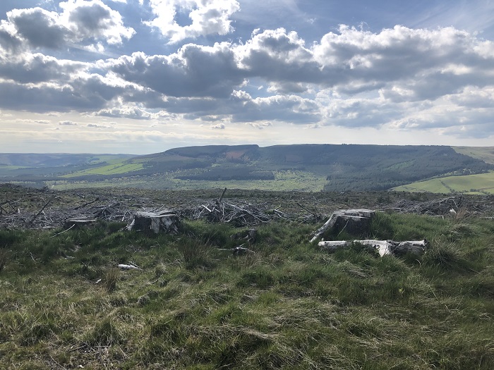
- The removal of larch trees from the woodlands (175ha) for the management of the threat from Phytophthora ramorum disease.
- Enhancement of higher conservation value areas by the management and expansion of the riparian zones and successional woodland (210ha).
- An increase of areas allocated to long term retention (9ha).
- An increase in areas allocated to Natural Reserve status (19ha)
- An increase of areas managed as native broadleaves (670ha)
- The restoration of ancient woodland sites (50ha) by the removal of conifer and the creation of a native broadleaf habitat.
- Softening of conifer edges to lessen their visual impact on the landscape.
- A decrease of Sitka spruce and an increase of other species of conifer and broadleaves in order to increase the woodlands resilience to pests and diseases.
Why your views matter
We would like to know your opinion and views on the new plans for Coed Sarnau so it can help us improve its long-term management.
Areas
- Llanidloes
- Rhayader
Audiences
- Forest Management
Interests
- Forest Management
Share
Share on Twitter Share on Facebook